A Great Green Wall Programme · Kebbi State
Restoring Drylands. Building Resilience. Empowering Communities.
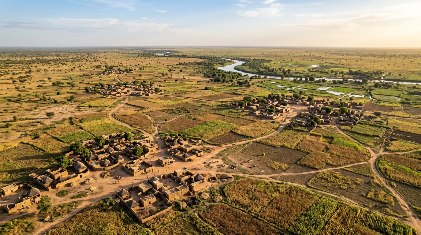
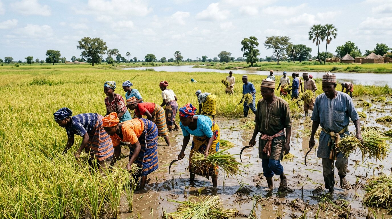
Transforming degraded landscapes across Kebbi State through ecosystem restoration, sustainable livelihoods, climate resilience and community-led conservation.
Digital Ecosystem Intelligence Platform
Real-time data. Geospatial intelligence. Evidence-based restoration.
A centralized platform for field data collection, GIS monitoring and decision support across the five project LGAs.
GGWI GeoVision
Monitoring land degradation from space to the soil.
Satellite-driven monitoring of vegetation recovery, land degradation trends, climate risk and restoration performance.